Section: Application Domains
3D modelling
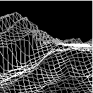
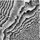
Earth observation and cartography is not solely concerned with 2D images. One important problem is the construction of 3D digital elevation models (DEMs) from high-resolution stereo images produced by satellites or aerial surveys. Synthetic aperture radar (SAR) imagery also carries elevation information, and allows the production of more accurate DEMs thanks to interferometry techniques, for example.